
Our Services.

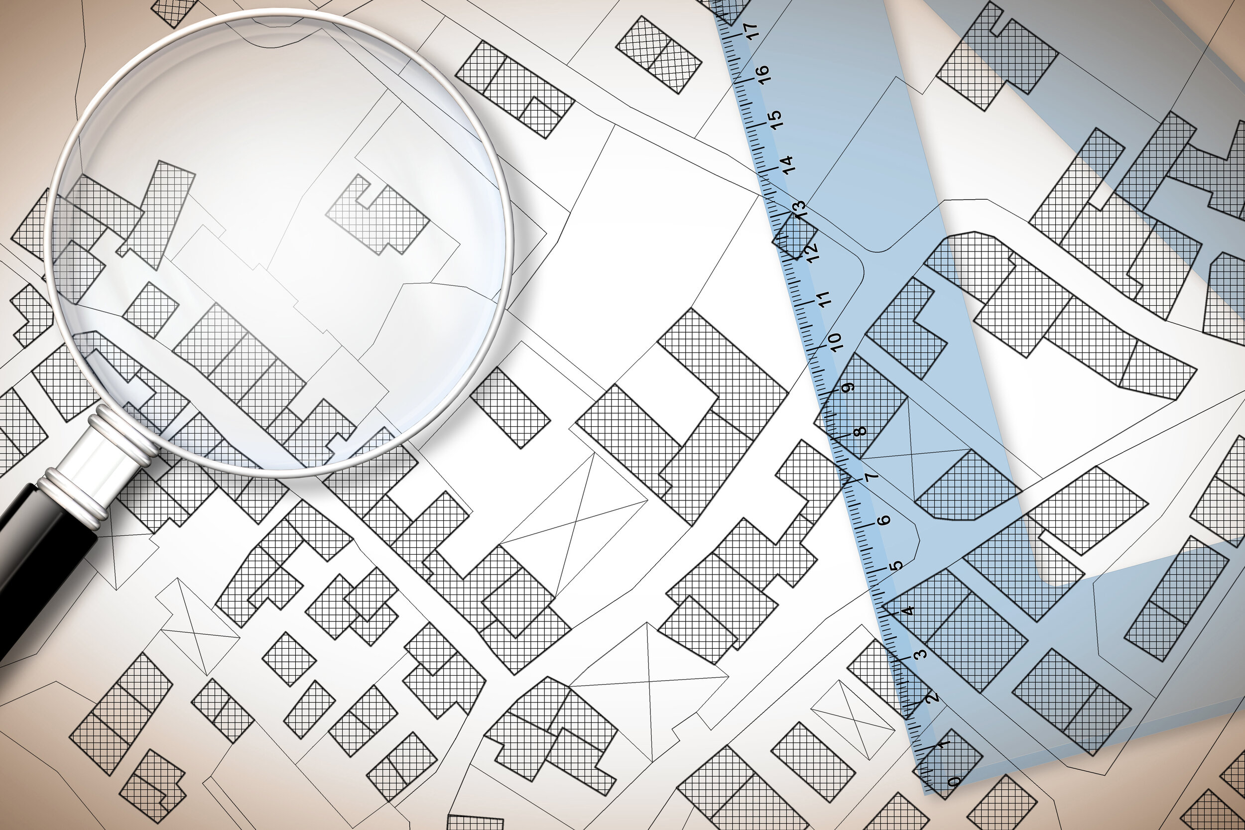
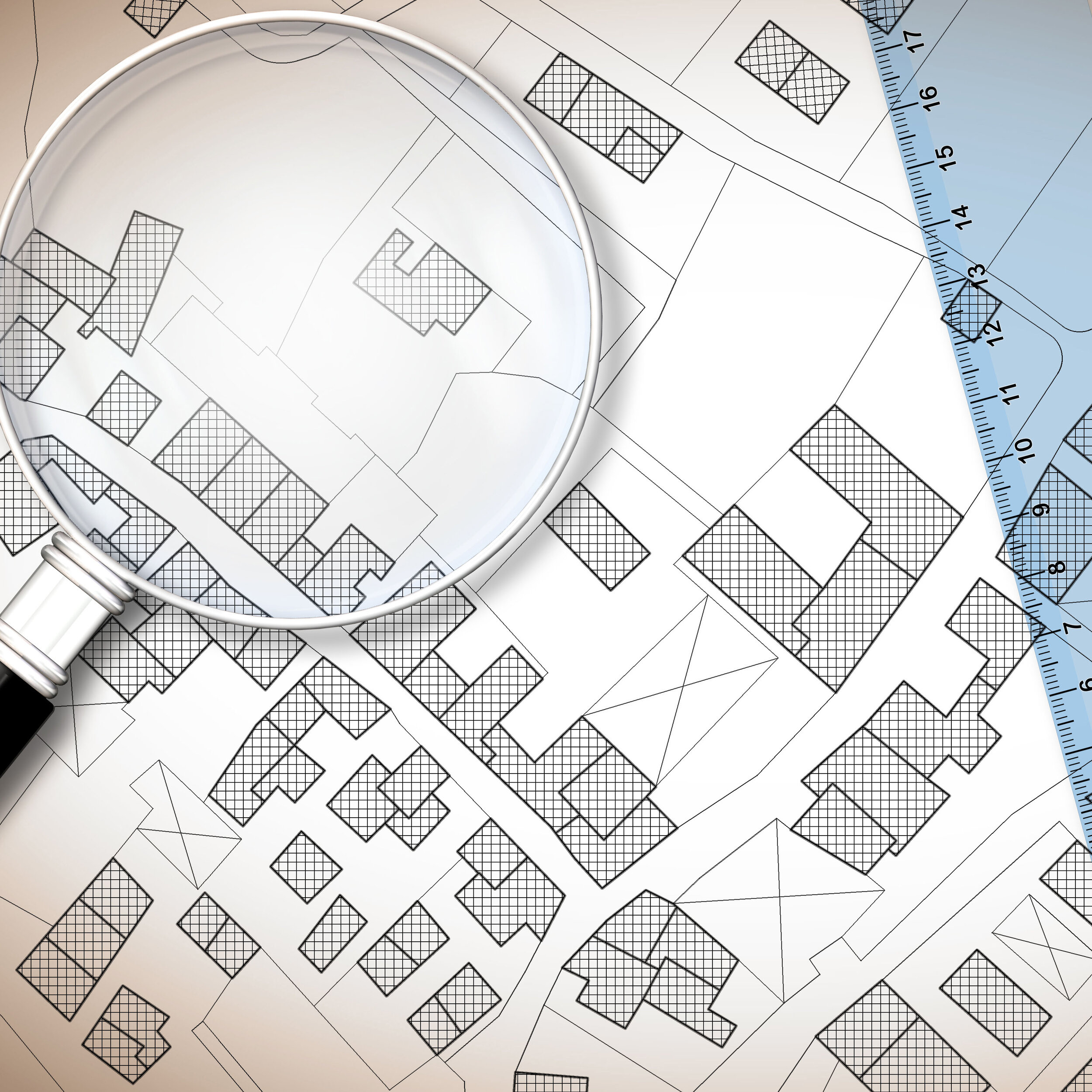
Real Property Report (RPR)
An RPR is a legal document that clearly illustrates the position of buildings in relation to property lines and municipal by laws most often used when purchasing or selling a house.
3 Stages, Site, and Drainage
Stage 1 – Site Plan
The site plan must be based upon the proposed grades established on the registered lot grading drainage plan.
Stage 2 – Foundation Report
Once the foundation has been installed, the land surveyor must provide the municipal Planning and Development department with the Foundation Report Form, which indicates foundation wall elevations and foundation, the land surveyor is certifying that the foundation has been constructed in conformity with the Site Plan.
Stage 3 – Surveyor’s Real Property Report
The Surveyor’s Real Property Report shall certify compliance with the Zoning By-law and lot grading requirements.


High water benchmark.
Planning commissions on the Eastern coast of New Brunswick require that the habitable part of any new construction must be at least 4.3 m (CGVD28) above sea level. We set a benchmark that can be used by the contractor to ensure the building is at the right height. Upon completion of the foundation, another survey can be performed to send a confirmation letter that this requirement has been met.
Subdivision plans.
This is the process of dividing large parcels into 2 or more parcels creating new titles for the individual lots. The newly divided lots will each have a legal description and survey markers set at property corners.

Retracement Surveys.
A boundary retracement survey involves researching public and private records of the property and adjacent parcels, conducting a field investigation and gathering measurements, and then re-establishing the property corners.

Boundary.
A boundary survey is good to have before adding a fence or structure to ensure you are within your property lines and recognizing setback requirements of the municipal zoning by-laws. By locating your property corners and staking property lines, you can avoid encroaching on easements and your neighbours.
Condominium Surveys.
Conventional condominium
A condominium is a form of property ownership involving multiple-unit dwellings where a person owns his or her individual unit, but the common areas are owned in common. All members share in the costs and maintenance of the common areas.
Bare land condominium
Bare land condo is a type of condominium in which the owners each own their individual lot, it may or may not have a structure on it, and the boundaries of the units are described by reference to survey markers. It is the opposite of a conventional condominium where the owners collectively own the land and individually own their unit.
Commercial condominium
A commercial condominium is a structure that is divided into units for commercial use or has more than one single detached building for commercial use.

Consolidation survey.
This is often used when 2 or more adjacent lots are owned by the same property owner and they wish to combine them into one title.

Plot plans for new construction or building additions.
Usually the first survey required for your new project, illustrates the position of the proposed structures needed for building permit applications. Also illustrate that it respects minimum setbacks and municipal bylaws.

Topographical Surveys.
Topographical surveys provide a detailed plan of natural and man-made features on a parcel of land such as ground elevations, waterways, fences, structures, roads, and municipal services to name a few. Often used by developers and engineers allowing them to plan their project accordingly.